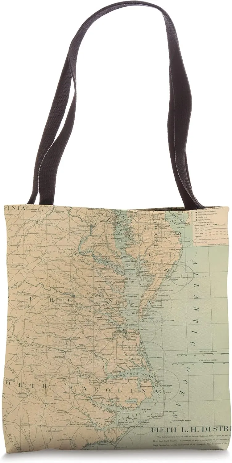
- Perfect for Mid Atlantic coast historians and history buffs, lighthouse lovers, boating enthusiasts, coast guard service men and women, residents, vacationers and tourists
- Nicely designed and printed featuring a vintage map of lighthouses throughout the Outer Banks and Chesapeake Bay
- 16” x 16” bag with two 14” long and 1” wide black cotton webbing strap handles.
- Made of a lightweight, spun polyester canvas-like fabric.
- All seams and stress points are double-stitched for durability, and the reinforced bottom flattens to fit more items and hold larger objects.
- Spot clean/dry clean only.
This is an old map of Outer Banks and Chesapeake Bay Lighthouses originally produced in 1897.
- Package Dimensions : 14.5 x 9.5 x 2 inches; 11.2 ounces
- Date First Available : September 30, 2021
- Manufacturer : North Carolina and Virginia Maritime Atlas
")


