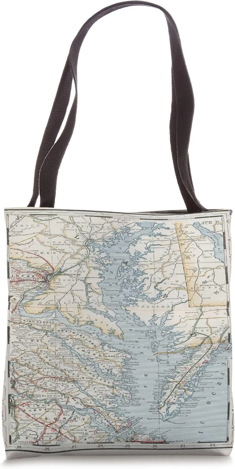
- Perfect for boating, sailing, maritime and nautical enthusiasts, historians and history buffs, geographers, genealogists, vacationers and tourists, residents
- Nicely designed and printed featuring an antique chart of the Chesapeake Bay
- 16” x 16” bag with two 14” long and 1” wide black cotton webbing strap handles.
- Made of a lightweight, spun polyester canvas-like fabric.
- All seams and stress points are double-stitched for durability, and the reinforced bottom flattens to fit more items and hold larger objects.
- Spot clean/dry clean only.
This is a historical map of the Chesapeake Bay originally produced in 1901 and featuring several geographical aspects.
- Package Dimensions : 14.5 x 9.5 x 2 inches; 11.2 ounces
- Date First Available : July 6, 2022
- Manufacturer : Virginia and Maryland Estuary & Waterway Atlas


")


